Peio Fonti
Race cycling • Val di Sole
Peio Fonti
Pejo Fonti is a renowned spa and is part of the town of Pejo. Starting from Ossana in Val di Sole, the climb is nearly 10 kilometres long.
Peio Fonti
Race cycling
· Val di Sole, Pejo e Rabbi
Responsible for this content
VisitTrentino Verified partner
Pejo Fonti is a renowned spa and is part of the town of Pejo. Starting from Ossana in Val di Sole, the climb is nearly 10 kilometres long.
moderate
9.5 km
1:11 h
476 m
35 m

Author
VisitTrentino
Updated: January 29, 2018
Difficulty
moderate
Technique
Stamina
Experience
Landscape
Highest point
1,400 m
Lowest point
957 m
Best time of year
Jan
Feb
Mar
Apr
May
Jun
Jul
Aug
Sep
Oct
Nov
Dec
Safety information
Please note that the practicability of the itineraries in a mountain environment is strictly linked to the contingent conditions and is therefore influenced by natural phenomena, environmental changes and weather conditions. For this reason, the information contained in this page may have changed. Before leaving for a tour, make sure the path you will approach is still accessible by contacting the owner of the mountain hut, the alpine guides or the visitor centres of the nature parks, the info offices of the local tourist board.Start
Ossana (959 m)
Coordinates:
DD
46.313030, 10.737380
DMS
46°18'46.9"N 10°44'14.6"E
UTM
32T 633767 5130295
w3w
///redeye.shrivels.obscure
Destination
Peio Fonti
Turn-by-turn directions
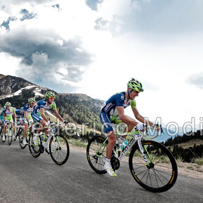
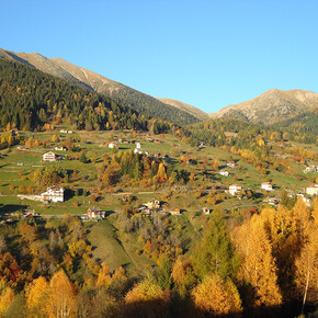
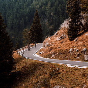
Cycling uphill, you can divide the climb into two sections. The first that leads into Val di Pejo all the way to the village of Cogolo, and the second that goes up to Pejo Fonti. Two stretches that are quite different: the first is a comfortable ride while the second is a tad more challenging. The climb starts out from Ossana, site of the Manor of San Michele built on a rocky outcrop. A few metres and you are in Val di Pejo, where the road climbs evenly. Val di Pejo is located in the Stelvio National Park, that includes the entire Ortles-Cevedale massif. After bordering the villages of Cellentino and Celledizzo on the left, the ride continues for 6 kilometres on a regular paved road that allows you to keep a steady pace, while the 3644 metres of Monte Vioz appear in the background. The slope is minimal and allows you to admire a typical Alpine valley, with its rustic villages, stables and barns. Once arrived in Cogolo there are only 3 and a half kilometres left to go, but they are the most challenging, with peaks of 12 percent. You pedal uphill on a series of hairpin turns that lead up to 1393 metres above sea level. At the end of the climb, suddenly, Pejo Fonti opens onto an Alpine basin of striking beauty. A well-known spa among the most important in Europe, this place also has many ski resorts and is the starting point for mountaineering excursions. In 2010 it was a stage finish of the Giro d’Italia, won by Frenchman Damien Monier.
Note
all notes on protected areas
Coordinates
DD
46.313030, 10.737380
DMS
46°18'46.9"N 10°44'14.6"E
UTM
32T 633767 5130295
w3w
///redeye.shrivels.obscure
Arrival by train, car, foot or bike
Difficulty
moderate
Distance
9.5 km
Duration
1:11h
Ascent
476 m
Descent
35 m
Statistics
: h
km
m
m
m
m