In this section, you can learn more about all the measures put in place by our operators and tourist service providers to protect you and your loved ones.
Mountainbiking
• Altopiano di Pine' and Valle di Cembra
875 - Monte Corno
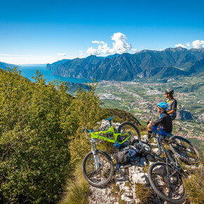
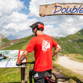
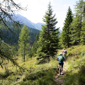
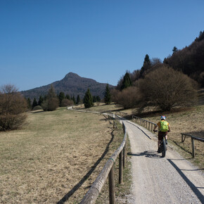
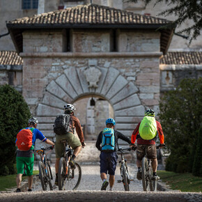
This tour, which mostly takes place on dirt roads, makes you discover the Monte Corno/Hornspitz nature park.
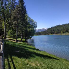
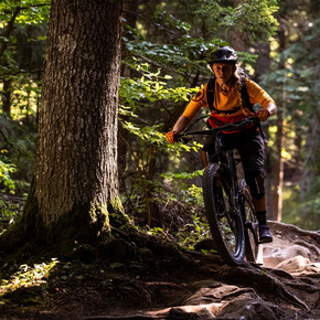
The climbs are never impossibly steep; the roads and paths are well maintained; refreshments are available at Malga Monte Corno; and, last, but not least: the route takes you past two lakes ('Lago Bianco' and 'Lago Nero'). All these aspects make this tour a fulfilling experience from the point of view not only of tourism, but also of sport.
Mountainbiking
· Altopiano di Pinè,Valle di Cembra
· closed
Responsible for this content Azienda per il Turismo Altopiano di Piné e Valle di Cembra
Verified partner
Explorers Choice
/
Photo: Azienda per il Turismo Altopiano di Piné e Valle di Cembra
/
Photo: Azienda per il Turismo Altopiano di Piné e Valle di Cembra
This tour, which mostly takes place on dirt roads, makes you discover the Monte Corno/Hornspitz nature park.
closed
moderate
24.1 km
4:30 h
1,289 m
1,289 m
The climbs are never impossibly steep; the roads and paths are well maintained; refreshments are available at Malga Monte Corno; and, last, but not least: the route takes you past two lakes ('Lago Bianco' and 'Lago Nero'). All these aspects make this tour a fulfilling experience from the point of view not only of tourism, but also of sport.
Difficulty
moderate
Technique
Stamina
Experience
Landscape
Highest point
1,743 m
Lowest point
919 m
Best time of year
Jan
Feb
Mar
Apr
May
Jun
Jul
Aug
Sep
Oct
Nov
Dec
Safety information
The roads, trails, and ski runs indicated are often used in the opposite direction as well, so keep an eye out for hikers, other cyclists, and vehicles.
On trails and other narrow roadways, pay close attention to hikers and slow down or stop as seems appropriate under the circumstances.
Always were a helmet and never underestimate the difficulty of the trails.
Take away your eventually rubbish
Obey all bicycle speed regulations and recommendations, and ride within your limits.
Please note that the practicability of the itineraries in a mountain environment is strictly linked to the contingent conditions and is therefore influenced by natural phenomena, environmental changes and weather conditions. For this reason, the information contained in this page may have changed. Before leaving for a tour, make sure the path you will approach is still accessible by contacting the owner of the mountain hut, the alpine guides or the visitor centres of the nature parks, the info offices of the local tourist board.
Start
Coordinates:
DD
46.230665, 11.301054
DMS
46°13'50.4"N 11°18'03.8"E
UTM
32T 677432 5122250
w3w
///outlawing.evenings.tablespoon
Turn-by-turn directions
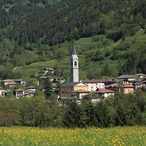
This tour, which mostly takes place on dirt roads, makes you discover the Monte Corno/Hornspitz nature park. The climbs are never impossibly steep; the roads and paths are well maintained; refreshments are available at Malga Monte Corno; and, last, but not least: the route takes you past two lakes ('Lago Bianco' and 'Lago Nero'). All these aspects make this tour a fulfilling experience from the point of view not only of tourism, but also of sport. The starting place is near the church of the village of Grauno. From there, climb for about 200 m on a paved road towards Fontana d’Ao and carry on along a fairly level dirt road that leads from Preda da l'Ao locality towards Capriana (this stretch of the route follows a section of the old main road up Valle di Cembra). After a while, the road becomes a nice, easily cyclable path that takes you to Pian dal Mas. There, it becomes wider and climbs gently to the village of Capriana. After a short asphalt stretch through the village in the direction of Anterivo/Altrei, the climb resumes along a nice, never too steep forest road that passes a quarry. Carry on until you reach a place where a fountain has been carved out of a tree trunk and from where you can see the village of Anterivo/Altrei. Turn left and head for Passo della Cisa (signposts). After a short stretch in Val Gausa, you reach the pass. Follow the signs for Malga Monte Corno, bearing left along a nice forest road until you reach the mountain dairy (refreshments are available there in the summer). After having gone through a fence, climb for about 200 m. At the top of the ascent, when the path becomes level, follow the signs for 'Lago Nero' (you can clearly see the lake from a spot near the road where there is a totem pole of the nature park). From Lago Nero, follow the signs for 'Lago Bianco', which has all but turned into a marsh. From Lago Bianco, carry on along the forest road. Approximately 700 metres after a wide hairpin bend, take the path towards Cauria/Gfrill. At a crossroads of several roads, follow the signs for Grauno and head for Pradi Larghi along a path. From Pradi Larghi, you descend Val San Martin on stretches of dirt road alternating with sections of paved road and finally arrive back at Grauno.
Note
all notes on protected areas
Getting there
By car: From south or north, on the A22 Brennero motorway, leave the motorway at the Trento Nord exit (22.5 km from the toll gate), continue northwards on the Main Brennero Road SS12 until the turn-off for Lavis, then take the Lavis - Castello di Fiemme Main Road SS612 which will take you to the Cembra Valley.
Parking
Free car park of Grauno
Coordinates
DD
46.230665, 11.301054
DMS
46°13'50.4"N 11°18'03.8"E
UTM
32T 677432 5122250
w3w
///outlawing.evenings.tablespoon
Arrival by train, car, foot or bike
Equipment
Mtb with dirt-free tires
Helmet
Glasses
Repair Kit
First aid kit
water
Snack
map
Windproof jacket for downhill skiing
Similar routes nearby
866 - Malga Vernera-Rifugio Vasoni
874 - Masi di Grumes-Cauria
Monte Corno Natural Park: Capriana and Anterivo - Tour 921