Ring route within the Laghestel Nature Reserve
Hiking trail • Altopiano di Pine' and Valle di Cembra
Ring route within the Laghestel Nature Reserve
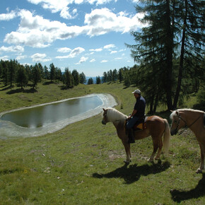
Most of this ring route takes place within a protected wetland area called 'Laghestel'. There are no difficult sections on this route, and the differences in height are minor.
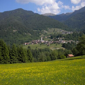
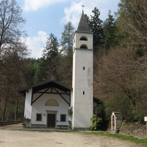
From Baselga, the route takes you along an easy tarmac road past the panoramic church of Vigo to a 6,000-m² wetland area of great natural-scientific interest that has been designated as a nature reserve.
Ring route within the Laghestel Nature Reserve

Azienda per il Turismo Altopiano di Piné e Valle di Cembra Verified partner
Safety information
- Prepare your itinerary beforehand
- Choose an itinerary that suits your physical abilities
- Choose suitable clothes and equipment
- Check the weather forecast
- Hiking by yourself is more risky; if this is the case, take a mobile phone with you
- Leave information about your itinerary and your expected return time
- If you are not sure about your itinerary, contact an Alpine Guide
- Pay attention to signposts and directions that you find along your way
- Do not hesitate in going back if you feel too tired
- In case of emergency call 112
Please note that the practicability of the itineraries in a mountain environment is strictly linked to the contingent conditions and is therefore influenced by natural phenomena, environmental changes and weather conditions. For this reason, the information contained in this page may have changed. Before leaving for a tour, make sure the path you will approach is still accessible by contacting the owner of the mountain hut, the alpine guides or the visitor centres of the nature parks, the info offices of the local tourist board.
Start
Turn-by-turn directions
Note
Getting there
By car: From either south or north, from the A22 Brennero motorway (from the south exit Trento south - north exit Trento north) or from the main Brennero road n. 12; continue on the Valsugana main road SS 47 towards Pergine Valsugana-Padova; when you reach the junction with the Altopiano di Piné road, turn off into this secondary road SP 83 known as the “di Piné” road. Search for route.Coordinates
Equipment
Even on relatively short easy outings make sure to take all you need so you don't run into trouble if things take an unexpected turn, for example a storm blows up or you have a sudden drop in energy levels.
What you should have in your rucksack:
- water canteen (1L)
- snacks (e.g. mixed dried fruit or chocolate)
- First aid kit
- windproof jacket
- fleece
- change of t-shirt and socks (in a plastic bag)
- make sure to wear or at least bring a pair of long trousers
- hat
- sun screen
- sunglasses
- gloves
- whistle to attract attention in an emergency
- emergency telephone number Mountain Rescue 112
Make sure you're wearing the right footwear for the trail and season. The going can get rough and rocky underfoot and a pair of hiking boots will protect you from sprains.
And finally... don't forget to bring your camera! You'll need it to capture the stunning views.