Mountain tour
• Altopiano di Pine' and Valle di Cembra
On the European path E5 with taste
Food and wine itinerary for trained walkers, to discover the local excellences, the history and the natural masterpieces of the Cembra Valley.
Mixed route, which follows part of the European Path E5, between paved roads that lead to the discovery of the ancient villages and the ruins of the Castle of Segonzano, dirt roads between the terraced vineyards that descend to the Avisio stream and the path that passes through the famous Earthpyramids. All "seasoned" with some stops in the historic cellars and restaurants with km-0 products.
Responsible for this content Azienda per il Turismo Altopiano di Piné e Valle di Cembra
Verified partner
Explorers Choice
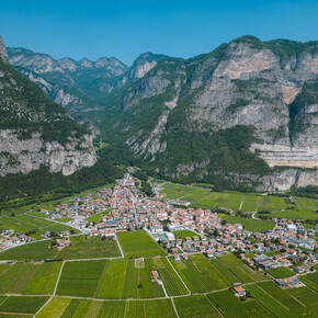
Photo: E-Borghi, Azienda per il Turismo Altopiano di Piné e Valle di Cembra
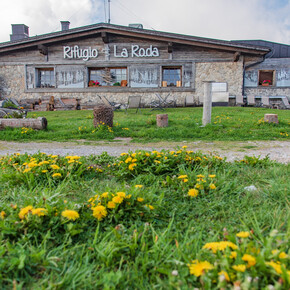
Photo: Andrea Monticelli, Azienda per il Turismo Altopiano di Piné e Valle di Cembra
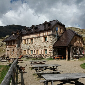
Photo: E-Borghi, Azienda per il Turismo Altopiano di Piné e Valle di Cembra
Food and wine itinerary for trained walkers, to discover the local excellences, the history and the natural masterpieces of the Cembra Valley.
moderate
Distance 11.7 km
Duration5:25 h
Ascent668 m
Descent671 m
Highest point891 m
Lowest point444 m
Mixed route, which follows part of the European Path E5, between paved roads that lead to the discovery of the ancient villages and the ruins of the Castle of Segonzano, dirt roads between the terraced vineyards that descend to the Avisio stream and the path that passes through the famous Earthpyramids. All "seasoned" with some stops in the historic cellars and restaurants with km-0 products.
Author’s recommendation
We advise you to check opening hours of the agriturismus and restaurants and to make a reservation. Among the points of interest we mention the Cantilaga bridge on the Avisio; in Piazzo di Segonzano the ruins of the Medieval Castle, the Immacolata Conzeione church and the Palazzo Baroni in Prato; the Earth Pyramids.
Degree of difficulty according to the common symbolism: route E (on paved road, dirt road and path)
External risks present along the route: secondary roads busy by work vehicles mainly in spring and autumn, steepy downhill path to the geological site of the Pyramids of Segonzano
THE 10 RULES FOR HIKERS
Prepare your itinerary beforehand
Choose an itinerary that suits your physical abilities
Choose suitable clothes and equipment
Check the weather forecast
Hiking by yourself is more risky; if this is the case, take a mobile phone with you
Leave information about your itinerary and your expected return time
If you are not sure about your itinerary, contact an Alpine Guide
Pay attention to signposts and directions that you find along your way
Do not hesitate in going back if you feel too tired
The itinerary starts from the town of Faver, a small town characterized by the food and wine tradition still alive in local producers including the Paolazzi Distillery, the Paolazzi Butche shop and the restaurant Locanda del Passatore. From here descend following the European Path E5, along the ancient Corvaia path, untill the historic Cantillaga bridge in the Avisio river. From here, turn right towards Piazzo. Near the cemetery, a detour to the left allows you to reach the ruins of the Segonzano Castle, a panoramic point over the vineyards and a historical and cultural point of interest. When you reach the chapel of Sant'Antonio, go down to the town of Piazzo where the church of the Immaculate Conception and the Palazzo Baroni a Prato with the homonymous cellar are located. From here it is possible to walk back to Faver or, following the E5 path, go uphill to the locality of Stedro where the Giacomozzi restaurant and distillery is located. From here you proceed in a gentle ascent to the panoramic point overlooking the Earth Pyramids of Segonzano and descend the path, which crosses the entire site, until you reach the Regnana stream and the Chiosco alle Piramidi. A path takes you back to the village of Piazzo from where you descend along the provincial road to the Ponte dell'amicizia bridge on the Avisio. After crossing the bridge, immediately turn left onto the secondary road that runs alongside the stream. You reach Faver strolling through the countryroad.
Note
all notes on protected areas
Parking
In the center of the village of Faver di Altavalle, it is possible to leave the car in the parking lot in the church square.