Malga Ces – Piani della Cavallazza– Orti Forestali
Snowshoeing • San Martino di Castrozza, Passo Rolle, Primiero and Vanoi
Malga Ces – Piani della Cavallazza– Orti Forestali
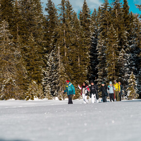
<p>The route from Malga Ces to the Piani della Cavallazza is a hike without major elevation changes, allowing you to enjoy beautiful panoramas and pleasant resting spots.</p>
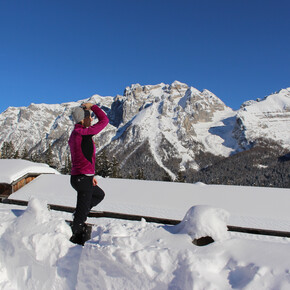
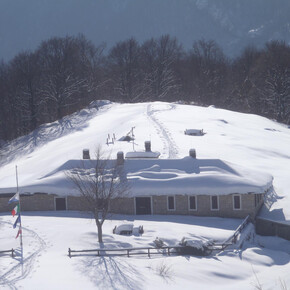
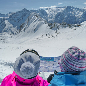
<p>The itinerary starts from Malga Ces (1,660 m asl), easily reachable from San Martino di Castrozza also by private means. From here, a flat path extends westward initially crossing the Valbonetta ski slope before entering the woods. After a few hundred meters, a signpost indicates the Piani della Cavallazza (Path No. 15 to the left). After crossing the Val Bonéta Forest Road, the path ascends towards the Piani della Cavallazza in the only real uphill part of the route, still made up of a comfortable path with wide switchbacks and slopes accessible to all. Along the climb, the path alternates woods and clearings and, after passing some aqueduct buildings, heads toward the summit of the Piani della Cavallazza (1,972 m asl), with its small but spectacular flat terraces near Cima Cavalazza. From here, there is a splendid view of the Pale di San Martino mountain range and sometimes of the village of San Martino di Castrozza. The path then gently descends, leading to a semi-open swampy area characterized by sparse vegetation with larches and mountain pines, a strict reserve of the Paneveggio Pale di San Martino Natural Park. Upon reaching a junction leading to Malga Fosse di Sotto, it is recommended to continue for a few hundred meters, still along Path No. 15, taking the path on the left towards Passo Rolle / Malga Fosse di Sopra. This section of Path No. 15 crosses the most suggestive, panoramic and wild part of the Piani della Cavallazza, with Cimon della Pala in the foreground along with the Pale di San Martino group.</p> <p>Return to the previous junction, where the route heads downwards towards Villa Pisoni / Malga Fosse di Sotto, descending into the beautiful forest above San Martino di Castrozza. This part of the itinerary has some steep downhill sections; therefore, utmost attention and path-following are necessary. Once the pastures of Malga Fosse di Sotto (1,639 m asl) are reached, now disused – near which (on the other side of the Cismón stream) lies the old, almost abandoned military cemetery from the Great War – the route, instead of descending towards San Martino di Castrozza, continues a short uphill stretch on the “B.G. Miotti” Path (part of the Caoria – Paneveggio cycle-pedestrian path). This part of the route can be taken about a hundred meters below the malga ruin, to the right going south. The “B.G. Miotti” Path gently climbs through the woods to reach the Orti Forestali (1,700 m asl), ancient imperial-era forest nurseries (i.e., Austro-Hungarian Empire).</p> <p>From the fork of forest roads at the Orti Forestali, the hike concludes by following the Orti Forestali Forest Road towards Malga Ces which, after a gentle descent, flattens shortly before reaching the Ces locality. A few hundred meters before Malga Ces, near the so-called “Campìgol”, the trail resumes the flat path section covered at the start of the itinerary and leads directly back to Malga Ces.</p>

