Cima delle Stellune
Back-country skiing • Val di Fiemme
Cima delle Stellune
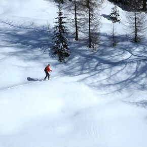
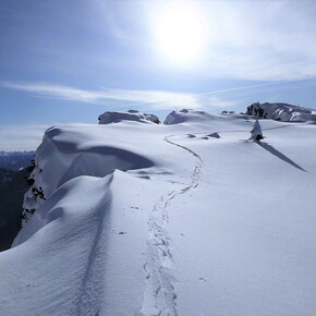
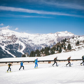
Grade: Intermediate/difficult - BSA (Good Alpine Skier) 40°; crampons/ice axe <p> A marvellous ski-mountaineering trail through a wild, spectacular setting. The first part is easy but long, since it follows the forest road and slopes on the right side of the Rivo delle Stue. The final stretch of the trail, instead, follows the splendid and attractive north-western ridge of Cimon delle Stellune, which requires certain skill and a steady pace with an ice axe and crampons. This trail is therefore ideal for expert ski-mountaineers. The views from the summit are truly amazing.</p>
Cima delle Stellune
VisitTrentino Verified partner
A marvellous ski-mountaineering trail through a wild, spectacular setting. The first part is easy but long, since it follows the forest road and slopes on the right side of the Rivo delle Stue. The final stretch of the trail, instead, follows the splendid and attractive north-western ridge of Cimon delle Stellune, which requires certain skill and a steady pace with an ice axe and crampons. This trail is therefore ideal for expert ski-mountaineers. The views from the summit are truly amazing.
VisitTrentino Verified partner
Derived from the technical difficulty and the stamina requirements.
Track types
Show elevation profileSafety information
Always check the avalanche bulletin and assess the snowpack in the area.Special care must be taken along the stretch of the trail that leads to Forcella di Val Moena and along the last slope to the peak, where the stability of the snowpack needs to be carefully assessed.
The long stretch along the ridge is not easy. Watch out for any ledges.
When there is snow cover at low altitudes, you need to start out from Località Zocchi situated along the lower road at an altitude of 1132m.
Please note that the practicability of the itineraries in a mountain environment is strictly linked to the contingent conditions and is therefore influenced by natural phenomena, environmental changes and weather conditions. For this reason, the information contained in this page may have changed. Before leaving for a tour, make sure the path you will approach is still accessible by contacting the owner of the mountain hut, the alpine guides or the visitor centres of the nature parks, the info offices of the local tourist board.
Directions
Go to Castello di Fiemme along the SS48 main road through the Val di Fiemme or along the SS612 main road from Val di Cembra. Go along the Fiemme valley to Molina di Fiemme, and then continue to Passo del Manghen along the Val Cadino. Continue uphill to the pass until you get to Località Zocchi (forest house on the right - 1132m), where you can park your car. You can often get to Ponte delle Stue by car, (1240m - 1.5 km further ahead), thus avoiding the long initial part of the road. For information about the condition of the road to Passo Manghen, please telephone: +39 0462 341332 (Bar Ristorante Pineta).Coordinates
Equipment
Ice axe, crampons; ski crampons are often useful.Derived from the technical difficulty and the stamina requirements.


