
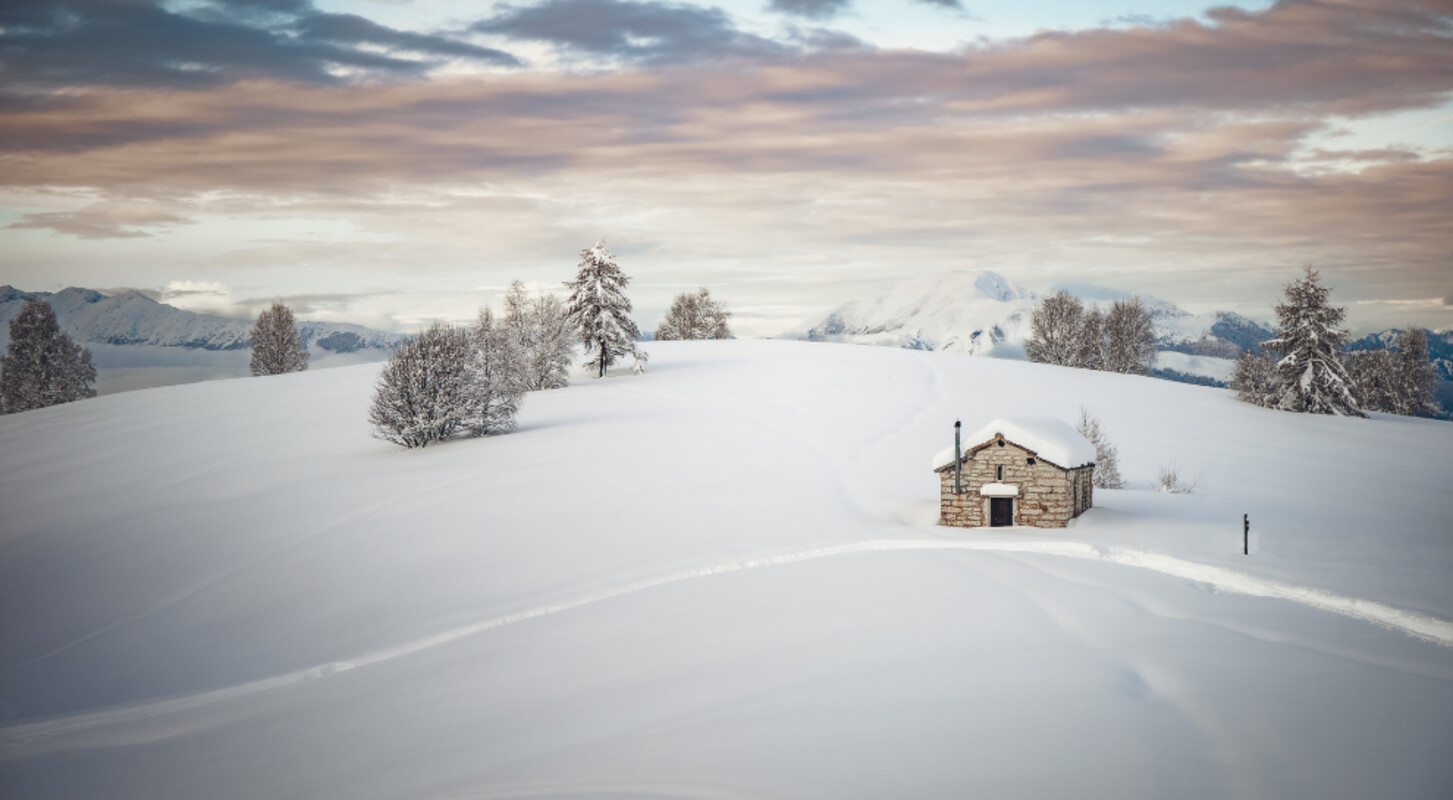
Unusual snow routes in Vallagarina
Guided excursions to discover hidden places, with lunch, at high altitude

Enjoy your Sunday outdoors with snowshoes and let yourself be guided to the most enchanting spots of the Vallagarina, with a delicious à-la-carte traditional lunch.
Together with expert local mountain guides, you will venture on snowshoes through pristine snow, gentle slopes and silent white forests, reaching mountain huts where traditional alpine dishes await you. You will have lunch together à-la-carte, paying directly at the hut for whatever you choose. Set off to discover unforgettable landscapes, breathtaking views and ancient flavours that will warm your heart.
Sunday, 21st of December – San Valentino & Rifugio Baita Fos-Ce
Discovering the Green Lands… covered in white! Snowshoeing through one of the largest beech forests in lower Trentino, crossing small frozen streams and stopping to admire the splendid meadows framed by the peaks of Monte Baldo. For lunch, the unique homemade flavours of Rifugio Baita Fos-Ce will complete a day to remember.
Meeting point: Stanga San Valentino parking area
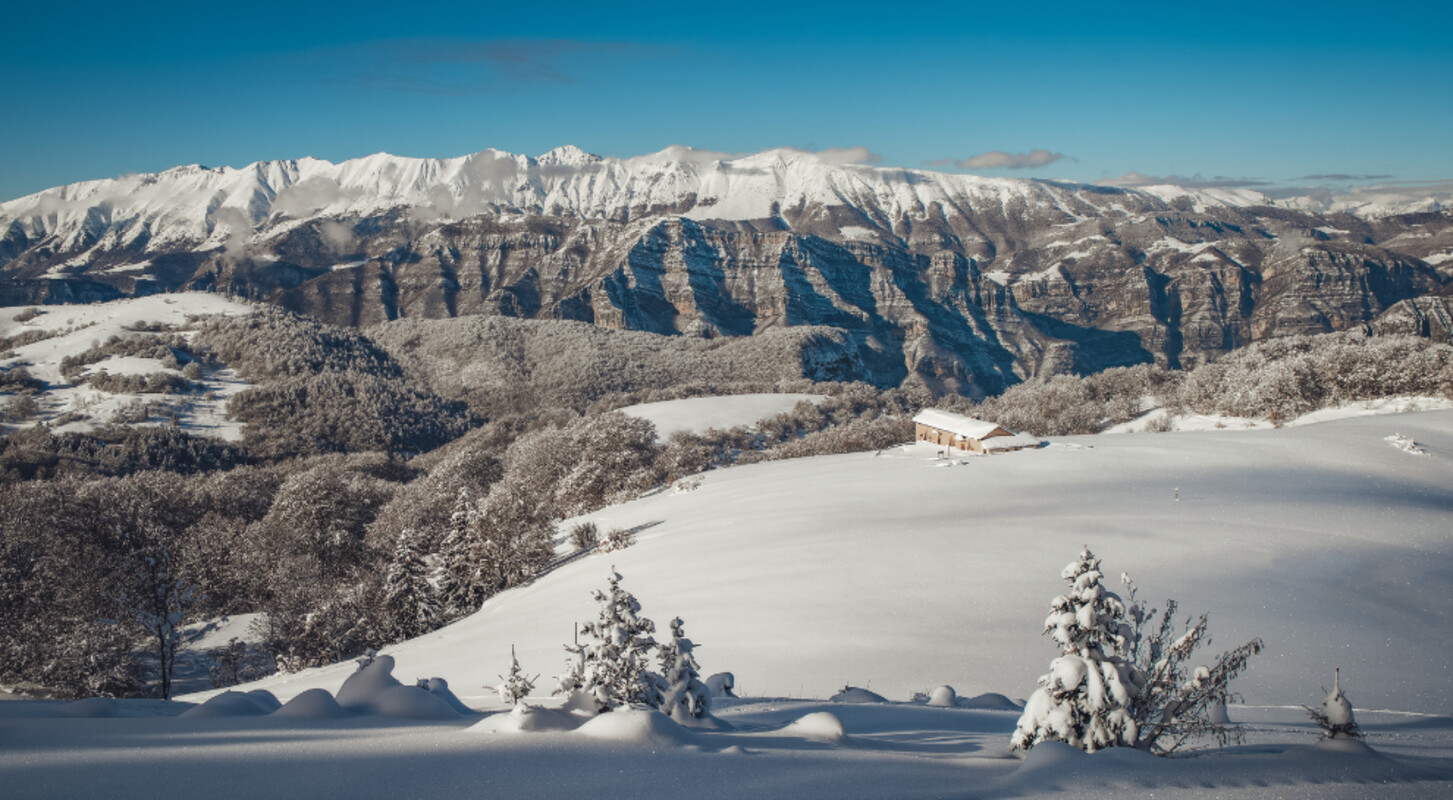
Sunday, 28th of December – Madonna della Neve & Rifugio Monte Baldo
Monte Baldo Aviense as you’ve never seen it before: frozen waterfalls, snowy meadows emerging from thick beech and conifer woods, discovering Pian della Cenere and its bivouacs, the small church of Madonna della Neve and its history, and the unparalleled flavours of the traditional cuisine at Rifugio Monte Baldo — a true culinary institution in the area.
Meeting point: Rifugio Monte Baldo parking area
Sunday, 4th of January – Lessinia Trentina & Locanda Alpina
A sweeping view over the high “hills” of the Lessinia plateau — sky-high pastures with an endless white horizon stretching south to Lake Garda and the Po Valley, east to the rugged Carega massif, west to the Brescia Alps, and north to the Trentino Alps and the Brenta Dolomites. After all this beauty for the eyes, you’ll be tempted by the beauty (and goodness) for the palate, with the specialties of Locanda Alpina, where Trentino and Veneto traditions meet.
Meeting point: Locanda Alpina parking area
More dates coming soon.
PLEASE NOTE: the use of snowshoes or crampons depends on snow conditions — if there is no snow, the excursion will be held on foot if conditions allow. Good physical fitness is required, as well as mandatory layered thermal clothing, gloves, hat, backpack, thermos with a hot drink, and some snacks for the route.
NOTE: necessary equipment can be rented directly from the guide on site, if requested at the time of booking.
The mountain guide reserves the right to modify the route based on terrain conditions, weather, and group preparedness.


