SAT / E595 - Sentiero del Lanzino
Hiking trail • Alpe Cimbra Folgaria Lavarone Luserna
SAT / E595 - Sentiero del Lanzino
<p>The path follows the ancient route that connected the Episcopal Principality of Trento with the Republic of Venice. It is the 'Lanzino di là' path, i.e. the downhill section of the Ancino (or Lanzino) Path, the uphill section of which (the 'Lanzino di qua') is located on the Caldonazzo slope between the Centa valley and Lavarone (see SAT path 217). It can be walked uphill from Carotte di Pedemonte, at the bottom of the Val d'Astico, or downhill from Dazio. Combined with the SAT 221 or 297 trails, it constitutes an excursion of great interest.</p>
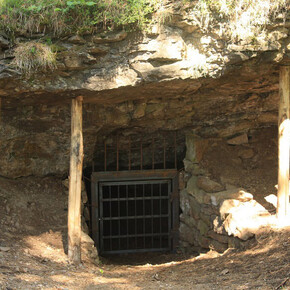
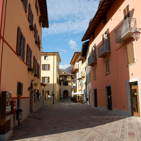
<p>The starting point is the junction with path SAT 221, near the village of Dazio (Folgaria); for the first stretch we descend to the characteristic village of Piccoli, passing the gorge of the Rio Malo and the high rock face on which is the Cóvelo di Rio Malo, a large natural cavity, which can be reached via a short diversions and a stairway up to the entrance of the cavern. After passing the village church, curiously built on a landslide boulder, and then the central street of the hamlet, we descend further down the valley, keeping to the edge of the cultivated meadows and passing three large landslide boulders. We continue along the southern stretch of the Sentiero dell'Ancino (or Lanzino) passing by a spring and the Baito Prombis; the path makes numerous hairpin bends and reaches a last terrace where there are three small buildings, known as the Baiti dei Sordi. Marked CAI 595, the mule track continues towards the bottom of the valley between high walls supporting terraced fields now desolately abandoned. Having reached the former military road built in 1908 by the Tyrolean pioneers of the Austro-Hungarian army, we turn left towards the nearby village of Carotte, a fraction of Pedemonte, but a locality close to Lastebasse, on the other side of the Astico river.</p>

