On the cycle path from Baselga to Montagnaga
Mountainbiking • Altopiano di Pine' and Valle di Cembra
On the cycle path from Baselga to Montagnaga
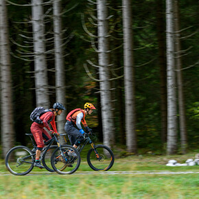
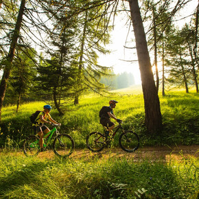
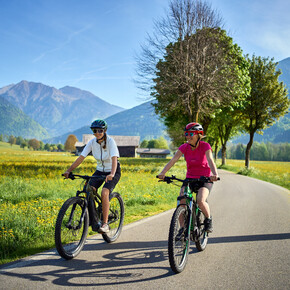
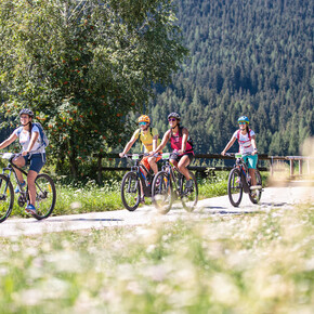
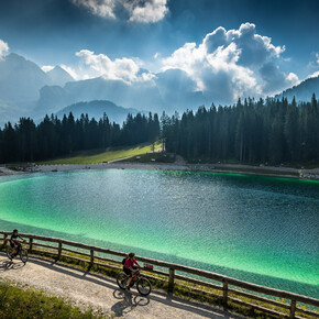
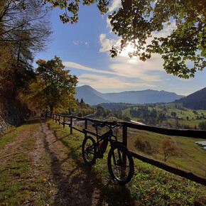
Ring route that connects the town of Baselga to Montagnaga, through a new cycle and pedestrian path: a tour suitable for everyone, that does not entail particular technical difficulties.
The ring is about 18.7 km long with an altitude difference of about 500m. The route that winds mainly through meadows and woods is almost entirely on paved road, except for small stretches of dirt road of compact gravelly soil.
On the cycle path from Baselga to Montagnaga

Azienda per il Turismo Altopiano di Piné e Valle di Cembra Verified partner
Author’s recommendation
- Rio Negro waterfalls: https://www.visitpinecembra.it/en/maps-itineraries-and-brochures/itineraries/emotional-paths-and-panoramic-peaks/the-rio-negro-waterfalls
- Sanctuary of the Madonna di Piné: https://www.visitpinecembra.it/en/discover-the-territory/culture-and-traditions/religious-sites/sanctuary-of-the-madonna-di-pine
- Laghestel Biotope: https://www.visitpinecembra.it/en/discover-the-territory/nature/biotopes/laghestel-biotope

Safety information
- The roads, trails, and ski runs indicated are often used in the opposite direction as well, so keep an eye out for hikers, other cyclists, and vehicles
- On trails and other narrow roadways, pay close attention to hikers and slow down or stop as seems appropriate under the circumstances
- Always were a helmet and never underestimate the difficulty of the trails
- Take away your eventually rubbish
- Obey all bicycle speed regulations and recommendations, and ride within your limits
Please note that the practicability of the itineraries in a mountain environment is strictly linked to the contingent conditions and is therefore influenced by natural phenomena, environmental changes and weather conditions. For this reason, the information contained in this page may have changed. Before leaving for a tour, make sure the path you will approach is still accessible by contacting the owner of the mountain hut, the alpine guides or the visitor centres of the nature parks, the info offices of the local tourist board.
Tips, hints and links
Apt Piné CembraStart
Destination
Turn-by-turn directions
Note
Public transport
Public transport friendly
Baselga di Piné can be reached using lines B 403 or B 402 of the suburban public transport.Getting there
By car: From either south or north, from the A22 Brennero motorway (from the south exit Trento south - north exit Trento north) or from the main Brennero road n. 12; continue on the Valsugana main road SS 47 towards Pergine Valsugana-Padova; when you reach the junction with the Altopiano di Piné road, turn off into this secondary road SP 83 known as the “di Piné” road. Search for route.Parking
Several car parks near Lake Serraia: above Despar supermarket, in the Lido area; in locality Alberon.Coordinates
Equipment
- Mtb with dirt-free tires
- Helmet
- Glasses
- Repair Kit
- First aid kit
- water
- Snack
- map
- Windproof jacket for downhill skiing