At the borders of the prince-bishoprics of Trento and Bressanone
Hiking trail • Val di Fassa
At the borders of the prince-bishoprics of Trento and Bressanone
<p>At "Bosc’ di Baic," formerly "Baic di Cela," you can see the ruins of the huts where the inhabitants of Soraga hid livestock from the hungry soldiers of the Great War, who were passing through.</p>
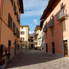
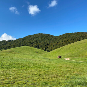
<p>From Moena, climbing up the Avisio, you reach the ancient settlement of Soraga: a truly postcard landscape opens before your eyes. Soraga is cut by the Rif del Termen, which once marked the boundary between the prince-bishoprics of Bressanone and Trento, of which only Moena was part. As a memory of the border, a SAT plaque still marks boundary marker number 4, dating back to 1551, depicting the coats of arms of Trento, the eagle, and Bressanone, the lamb. On these alluvial terraces still stand the seven farmsteads that formed the original nuclei of the Soraga settlement: Cioch, Gherghele, Molin, Palùa, Roisc, Sala, and Sester. The walk leading to Palùa crosses meadows and forest. Along the route, at "Bosc’ di Baic" (from Ladin meaning 'forest of huts'), you can spot the ruins of three rustic buildings, one of which still preserves the perimeter walls, where farmers hid livestock to avoid raids by returning soldiers from the front during the Great War.</p>

