Val Rendena Bike Path

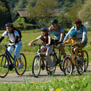
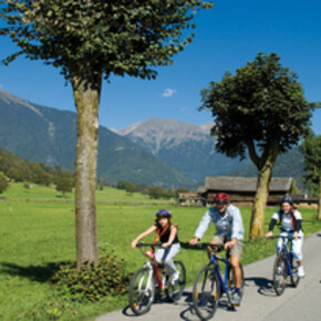
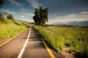
al Redena is crossed by a striking bike path, which follows the River Sarca. The path is approximately 18 kilometres long and stretches from Villa Rendena to Carisolo.

Val Rendena Bike Path    #1
Val Rendena Bike Path #1

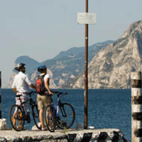
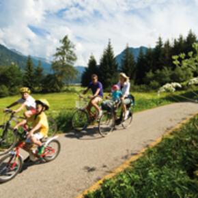
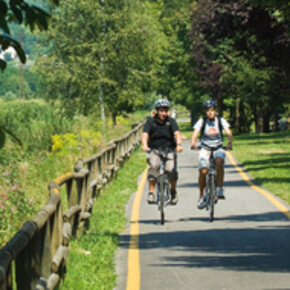
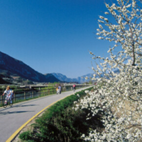
Val Redena is crossed by a striking bike path, which follows the River Sarca. The path is approximately 18 kilometres long and stretches from Villa Rendena to Carisolo. Free from steep hill climbs, the path meanders along a peaceful winding route, which makes it ideal both for families with kids and for those who wish to enjoy nature without tiring themselves out. The bike path unfolds as through the meadows of towns such as Lavrè, Darè, Vigo and Pelugo, crosses the stream which flows down from the Valle di Borzago and cuts through Spiazzo and Mortaso, before crossing the river again to reach Strembo and entering the town near the headquarters of the Adamello-Brenta Nature Park. Continuing on towards Pinzolo, the bike path lines Crosetta Park and its sports equipment, passes underneath the state road and branches off circle-like near Caderzone. It enters Carisolo and travels through Val Genova, bordering beautiful Nardis Waterfalls, or lining the paved road - no longer open to traffic - and the via vecia way up to San Antonio di Mavignola, which is the toughest uphill climb to reach Madonna di Campiglio.

The Val Rendena Bicigrill is located in the "al Sarca" park of Vigo Redena.

The Cicloguida della Val Rendena e Giudicarie Centrali is a cycling-guide featuring historical and cultural information on the bike path as well as valley folklore.



Contact & Directions

APT Madonna di Campiglio
Via Pradalago, 4
38084 Madonna di Campiglio , Italy

Weather Madonna di Campiglio

Today
Max Temp. (C): 10°
Temp. Min. (C): 1°
Apr 28
Max Temp. (C): 14°
Temp. Min. (C): 3°
Apr 29
Max Temp. (C): 17°
Temp. Min. (C): 1°
Weather forecast


You may also like ...

12 results
Mori-Torbole bike path

Mori-Torbole bike path

he Mori-Torbole bike path is 15.5 km long and connects Valle...

The Upper Val di Non Cycle and Foot Path

The Upper Val di Non Cycle and Foot Path

From June 2012 the Val di Non welcomes cycle enthusiasts with a 25...

Valle dell'Adige Sud - Trento - Besenello bike path

Valle dell'Adige Sud - Trento - Besenello bike path

This is Trentino's longest bike path, running 80.680 km in the ...

Valle del Primiero Bike Path

Valle del Primiero Bike Path

This cycling and walking path interconnects all the towns of Valle...

Val di Fiemme bike path

Val di Fiemme bike path

The Val di Fiemme bike path follows Marcialonga's route. The path is ...

Val di Sole bike paths

Val di Sole bike paths

The Val di Sole bike path runs for 34.5 km, hugging the River Noce,...

Valle del Sarca bike path

Valle del Sarca bike path

The Valle del Sarca bike path travels across 11 km of one of the most...

Valsugana Bike paths

Valsugana Bike paths

A bike path crossing Valsugana valley - a unique way of enjoying...

Mori-Torbole bike path

Mori-Torbole bike path

he Mori-Torbole bike path is 15.5 km long and connects Valle dell'Adige to Lake Garda.

Read more ...
The Upper Val di Non Cycle and Foot Path

The Upper Val di Non Cycle and Foot Path

From June 2012 the Val di Non welcomes cycle enthusiasts with a 25 kilometre route through the stunning scenery of the upper Val di Non

Read more ...
Valle dell'Adige Sud - Trento - Besenello bike path

Valle dell'Adige Sud - Trento - Besenello bike path

This is Trentino's longest bike path, running 80.680 km in the North-South direction, and is the core of the entire project of bike paths in...

Read more ...
Valle del Primiero Bike Path

Valle del Primiero Bike Path

This cycling and walking path interconnects all the towns of Valle del Primiero, starting from Imer all the way to Siror. It is almost eleven ...

Read more ...
Val di Fiemme bike path

Val di Fiemme bike path

The Val di Fiemme bike path follows Marcialonga's route. The path is open to everyone and gives cyclists the chance to travel through the entire...

Read more ...
Val di Sole bike paths

Val di Sole bike paths

The Val di Sole bike path runs for 34.5 km, hugging the River Noce, with a total drop in elevation of 664 m, from Mostizzolo to Cogolo. It can be...

Read more ...
Valle del Sarca bike path

Valle del Sarca bike path

The Valle del Sarca bike path travels across 11 km of one of the most attractive areas of countryside in the entire Trentino region.

Read more ...
Valsugana Bike paths

Valsugana Bike paths

A bike path crossing Valsugana valley - a unique way of enjoying nature and relax away from traffic and pollution.

Read more ...

Cycleways