Sagron Mis - Pale di San Martino
- Home to the T3 Tower, an innovative observation point
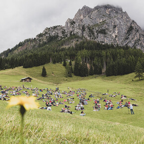
- Hosts one of the concerts of the festival I Suoni delle Dolomiti
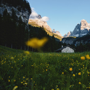
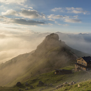
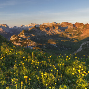
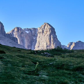
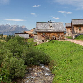
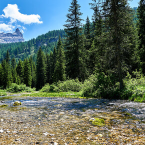
Nestled between the Pale di San Martino and the Cimonega Group, Sagron Mis is the easternmost municipality of Trentino, the furthest from the capital Trento. The municipality is formed by a series of small villages scattered along the upper valley of Mis, the most important of which, Mis and Sagron derive their name. Part of the Community of Primiero, Sagron Mis can be reached from Primiero by crossing the Cereda pass in a twenty-minute drive. The entire area is characterised by the strong enhancement of its territory through attention and strict respect for the natural environment.
Sagron-Mis has become the first Dolomites portal and is home to the T3 Tower, an innovative observation point with a rock gym and night vision telescope near the Chalet Giasenei, an eco-sustainable accommodation facility immersed in the woods of the village of Matiuz. Interesting itineraries to discover the territory are the Intrecci del tempo interpretive path (7 km long to discover human activities in different eras) and the Mineralogical Path on the traces of mercury and gold mines. In addition to the mining tradition, the villagers are known for the artisanal production of wooden chairs and wicker, ancient knowledge handed down from generation to generation that still survives today.
Sagron Mis, far from the crowded tourist centres, is the ideal crossroads for those who want to combine visits and excursions between the Paneveggio-Pale di San Martino Nature Park and the Belluno Dolomites National Park (the Alta Via n.2 of the Dolomites passes through the municipality).

